Places in the inland valleys of the Ligurian east
(valleys Fontanabuona, Graveglia, Petronio, Vara)
The places of the inland valleys of the Ligurian east: an overview
Introduction
In this section, find an introduction of the mountains facing the inland valleys of the Ligurian east. Not all of them, indeed, since setting limits to things that have no borders is always hard, especially in this rather complicated area.
Let’s start with the mountains along the main ridge, in Fontanabuona valley, then with mount Ramaceto. Further on, we skip the mountains of the upper Sturla valley, with the group of mount Aiona; they could have also stayed here but, by consuetude, they are mainly considered as a part of the upper Aveto valley mountains, so we will consider them elsewhere.
We find again the main ridge at mount Zatta, in the upper Graveglia valley, where we reach the border with the Vara valley. In this area, we also see the mountains of the ridges separating the Graveglia, Vara and Petronio valleys. We then continue along the main ridge, with mounts Zuccone and Gottero, to end with some mountains of the north side of the middle Vara valley.
These are very diverse places, some of them well known, other less, with a great variety also of the possible itineraries: from the classical trails, also short and well beaten, to almost forgotten paths. All of this, with the usual presence of hundreds small hamlets, almost forgotten, keeping the fascination of time.
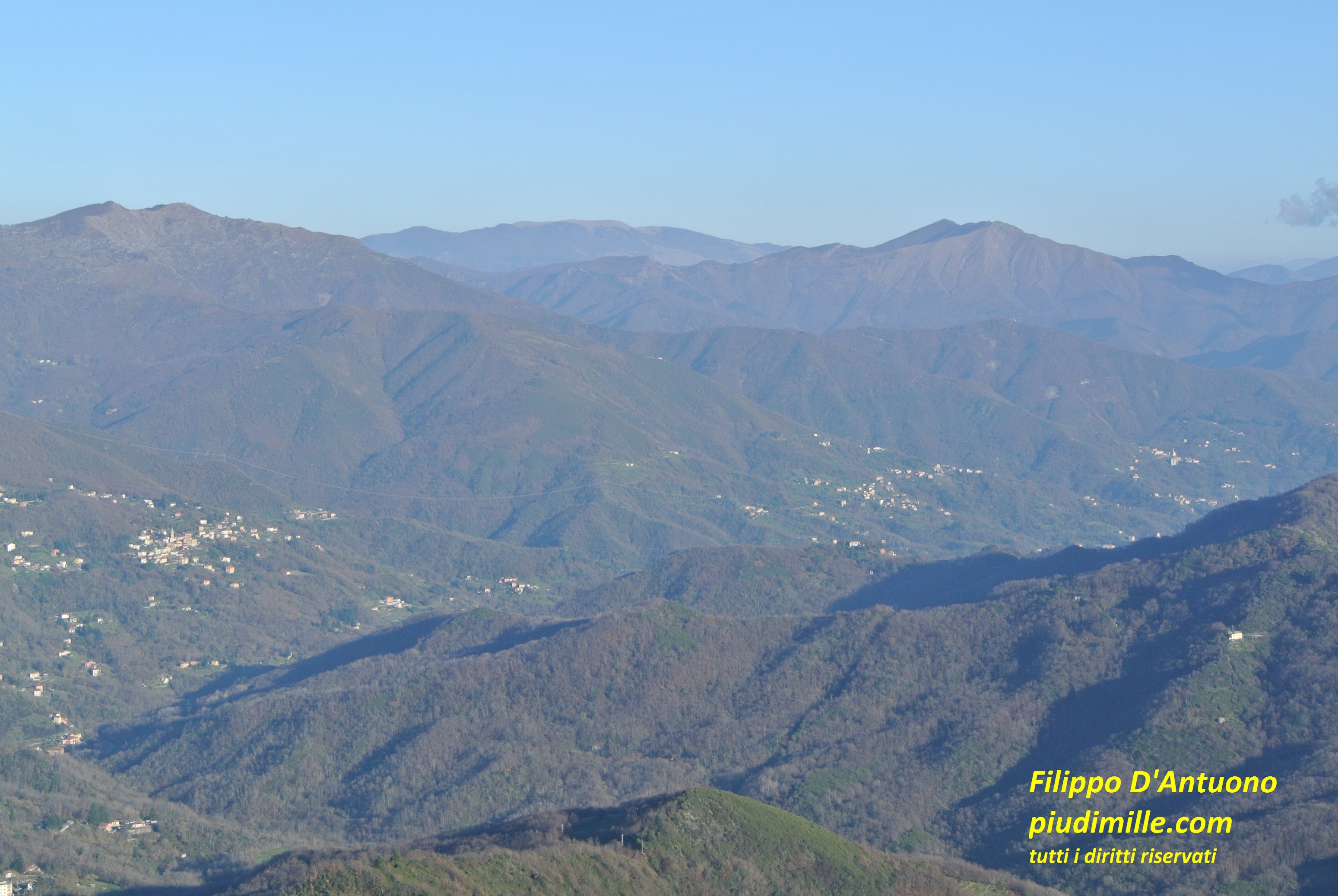
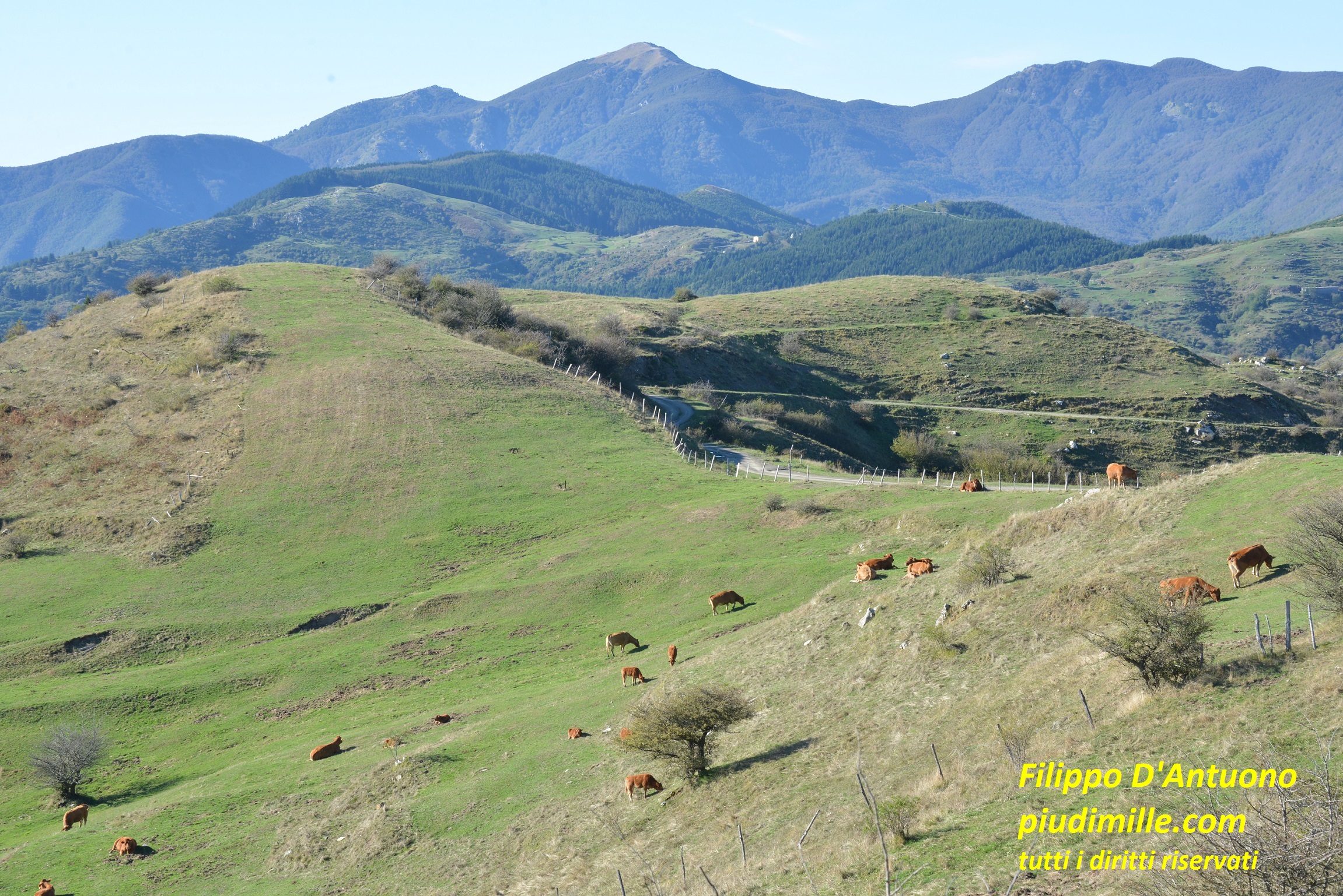
The upper Fontanabuona valley, seen from mount Bado, with mounts Caucaso, Ramaceto and Aiona, in the background
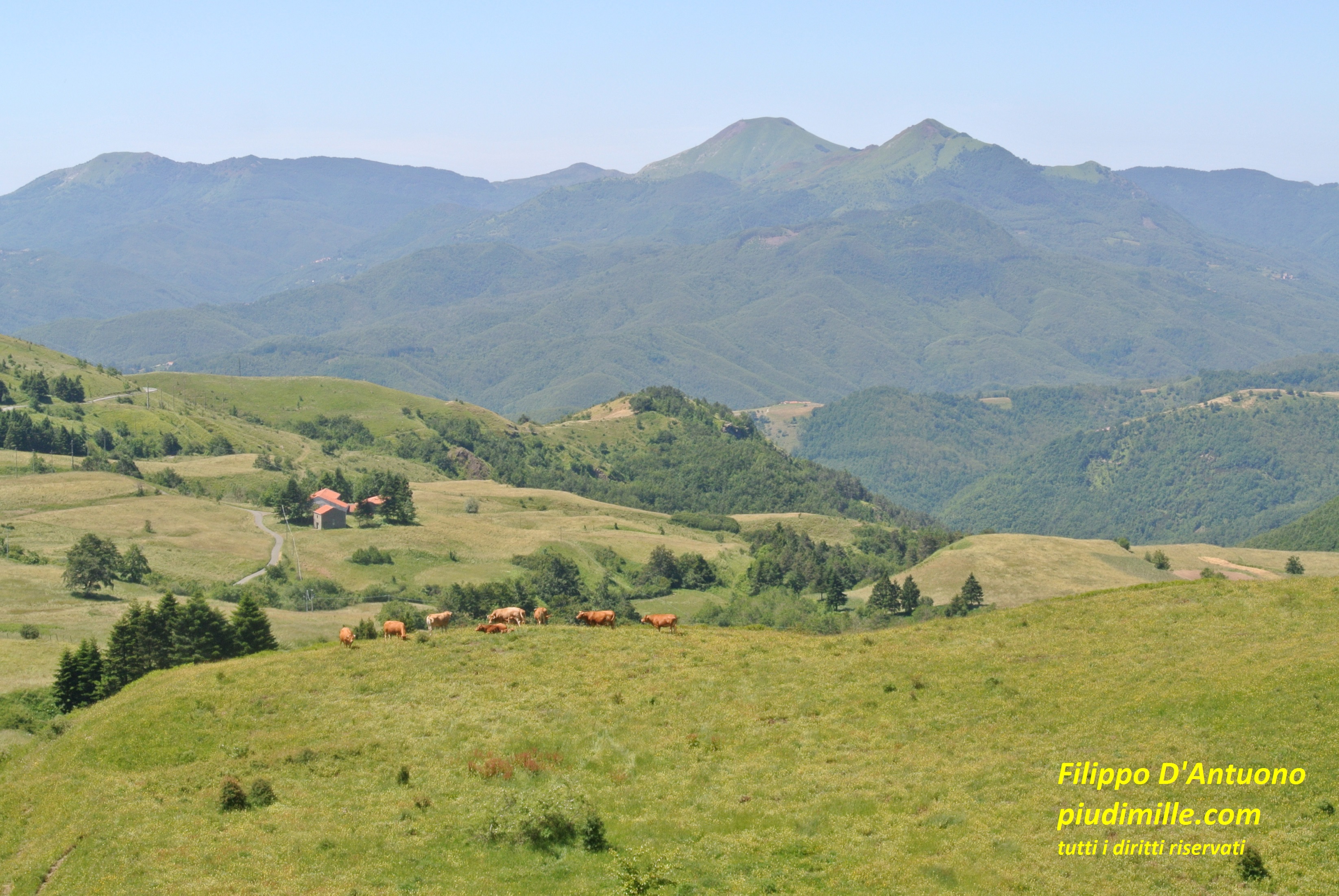
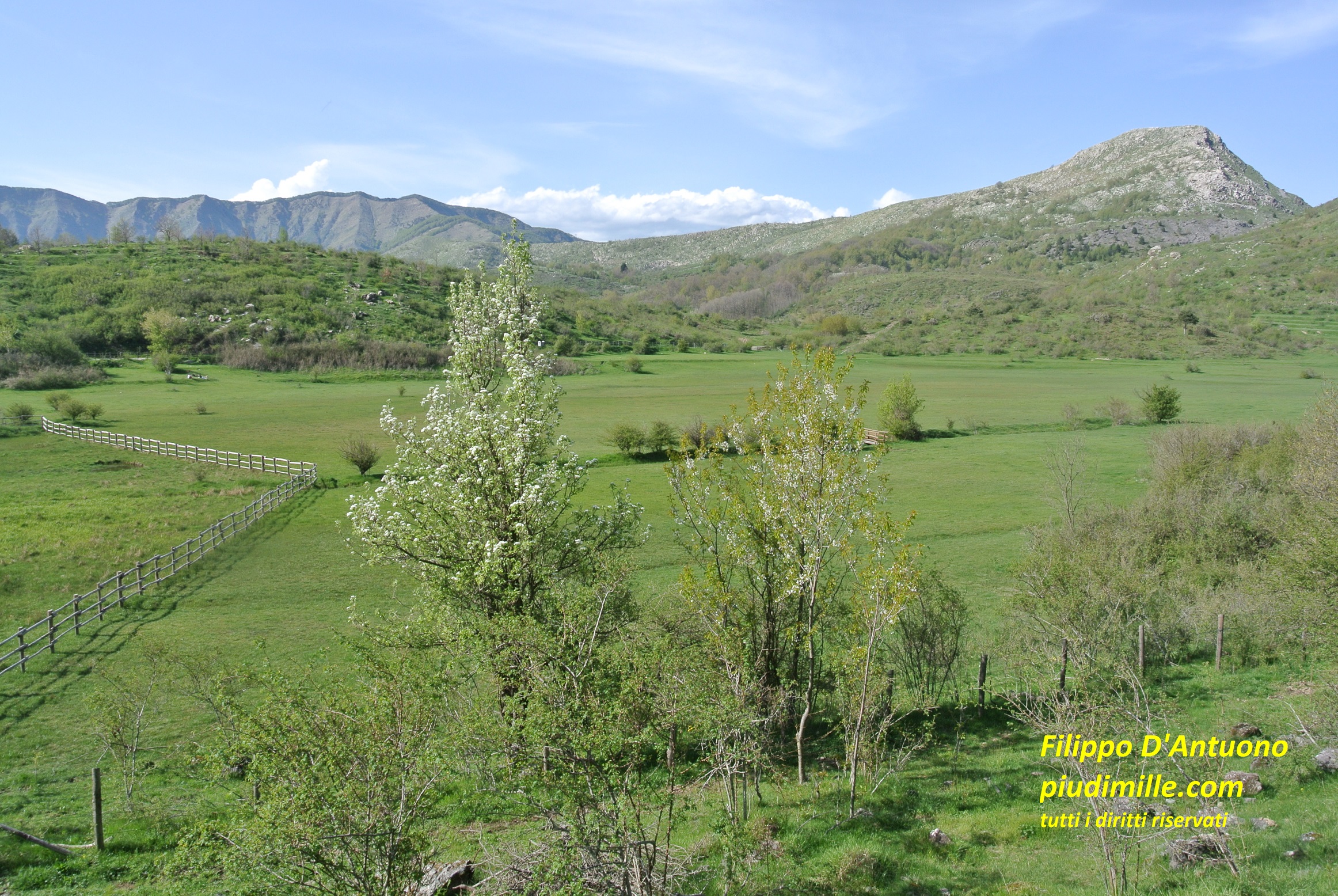
The pasture environment aorund pass Centocroci, in the upper Vara valley, with mounts Porcile and Verruga in the background
The inland valleys of the Ligurian east: valley Fontanabuona
Valley Fontanabuona (or of the stream Lavagna), runs almost parallel to the sea line, between pass della Scoffera and the estuary of Entella, reaching the sea between the towns of Chiavari and Lavagna. At the upper end of the valley there are mounts Croce dei Fo’ and Bado; the south side of valley Fontanabuona is indeed the coastal ridge. I already illustrated these places in the pages about the Ligurian east coast.
Here we however see the central part of the Fontauabuona valley, at its border with the Aveto valley, in the part where also the Aveto river flows from east to west. In this part we see very well the characteristic trait of these mountains, with steep and rugged south sides and more easily accessible north sides.
Il monte Caucaso
Mount Caucaso raises from the main ridge just in the central part of the valley. On the opposite side, it faces mount Manico del Lume. Usually people start the ascent to its top from the village of Barbagelata or from the road pass Scoglina, with relatively short and easy itineraries. But, in case you prefer to try yourself with the ascents from the barren and rough south sides, also starting from the bottom of the valley, at Cicagna, Cicagna, maybe you will enjoy. There are plenty of possibilities, also using almost neglected trails.
The chapel on mount Caucaso summit and the view of the Fontanabuona valley and the sea of Sestri Levante
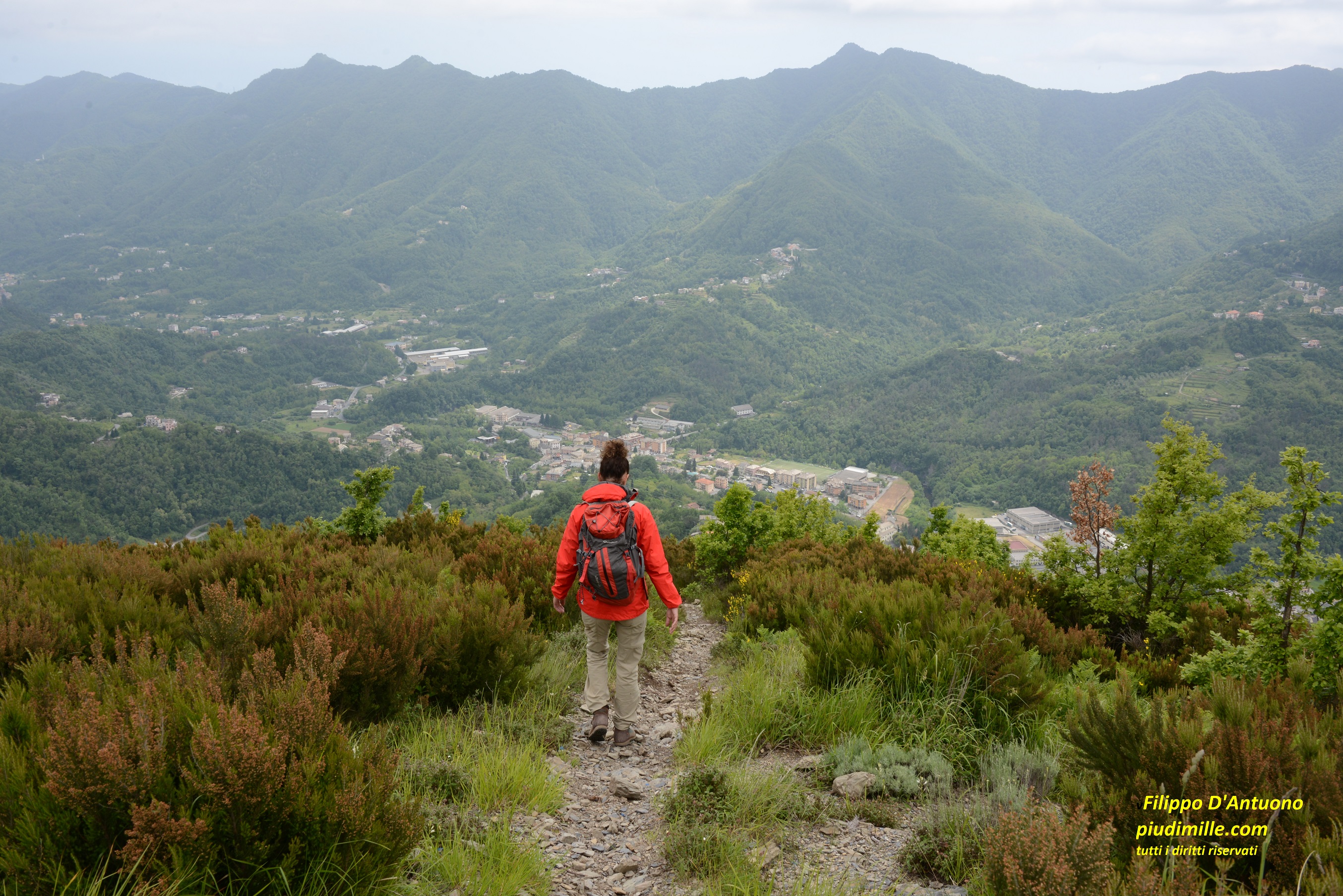
The descent from mount Caucaso to valley Fontanabuona, along less beaten paths
The group of mount Pagliaro
Beyond pass Scoglina the average height of the ridge lowers; however its south sides, in the two valleys converging at the village of Favale di Malvaro, are even more rough and solitary, with only a couple of lonely ascent paths. The access from the north side of Aveto valley, from the villages of Sbarbari or Priosa, is theoretically easier, but used by almost nobody. As a result, the ridge to mount Pagliaro is rugged and solitary. Beyond mount Pagliaro, the main ridge turns south, to reach mount Ramaceto.
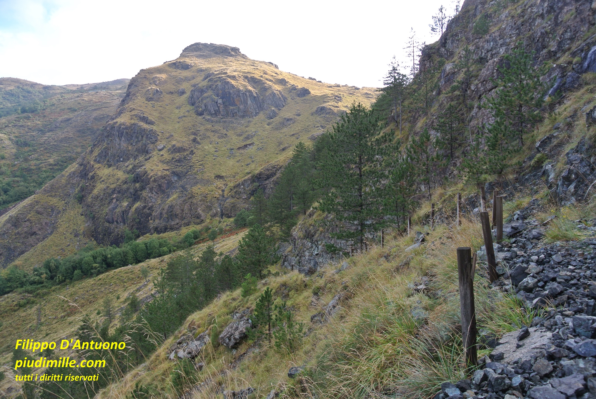
The rugged ridge between pass Scoglina and mount Pagliaro
The abandoned settlement of Casoni di Arena, on the sides of mount Pagliaro
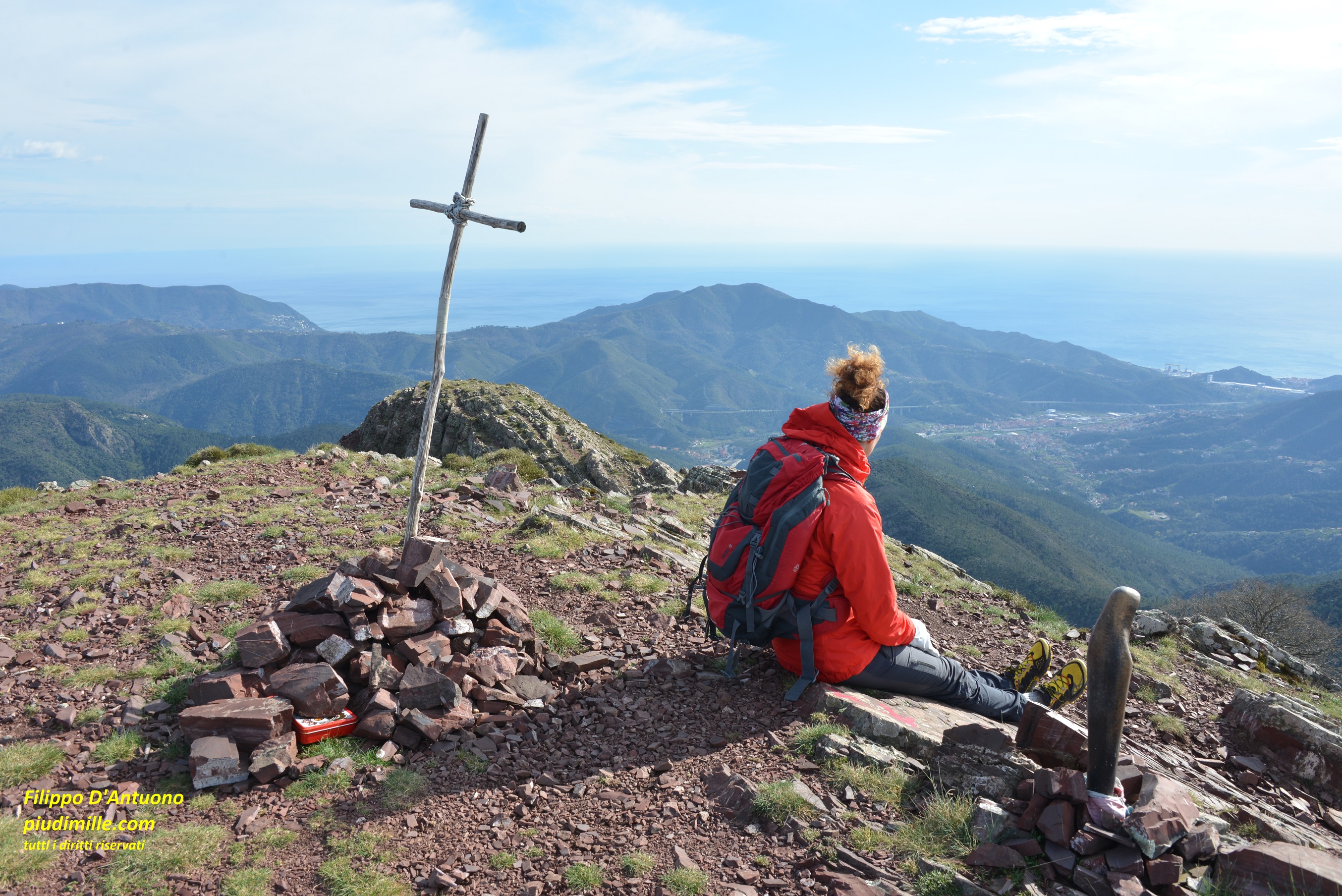
Mount Ramaceto
Mount Ramaceto is magnificent. Its summit belongs, for a shirt stretch, if the main dividing ridge. From the summit start two long lateral ridges, embracing the Cichero valley, in a long, unmistakable, elliptical shape. Its inner sides are made of steep and barren sandstone layers, contrasting with the forests of the north side. The north access to mount Ramaceto, starting from the village of Ventarola, is rather easy and fast and the sight from the top is, once again, magnificent.
The chapel on the west summit of mount Ramaceto, with the sea of Portofino in the background
The south side of mount Ramaceto, in the upper Cichero valley
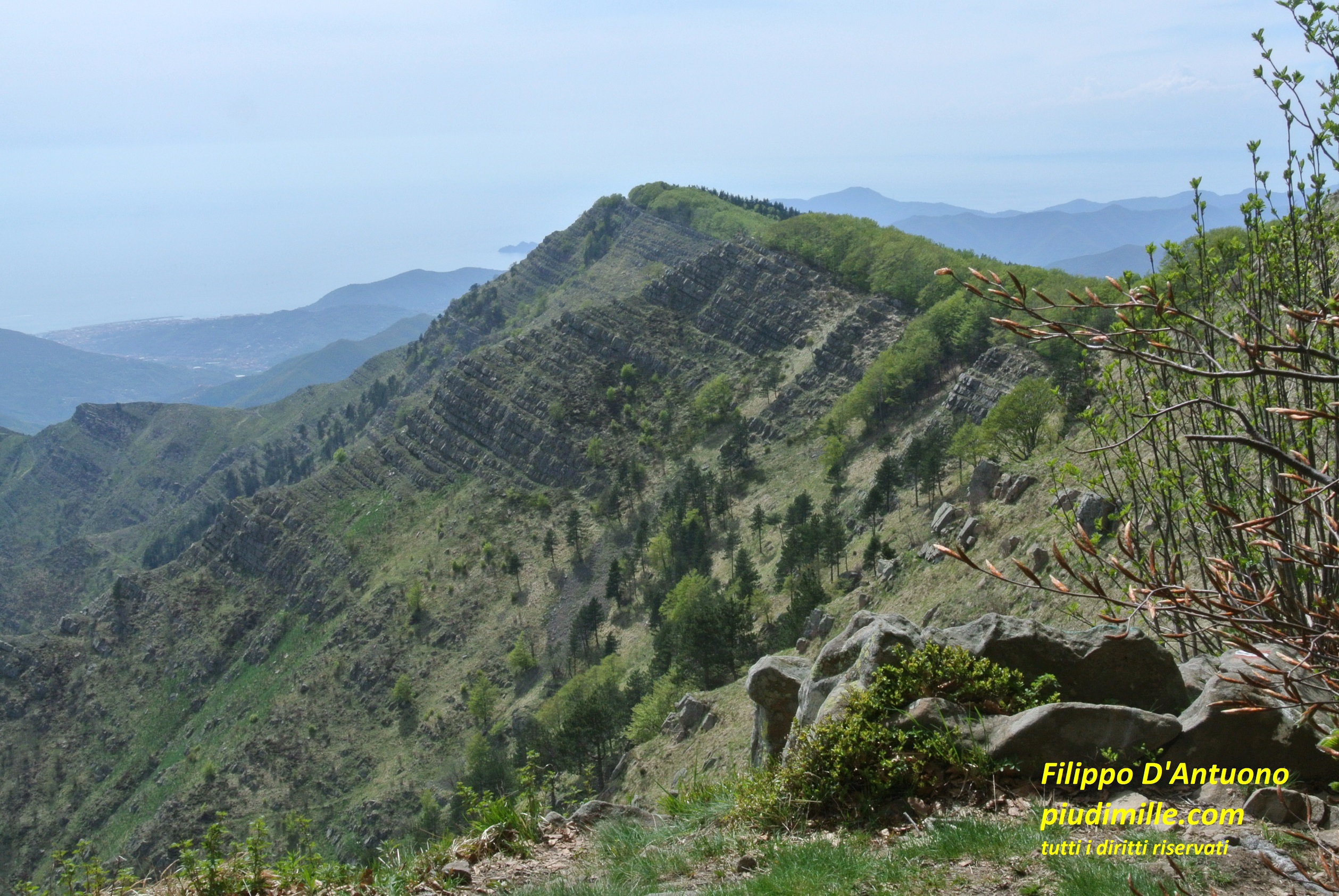
Mount Zatta
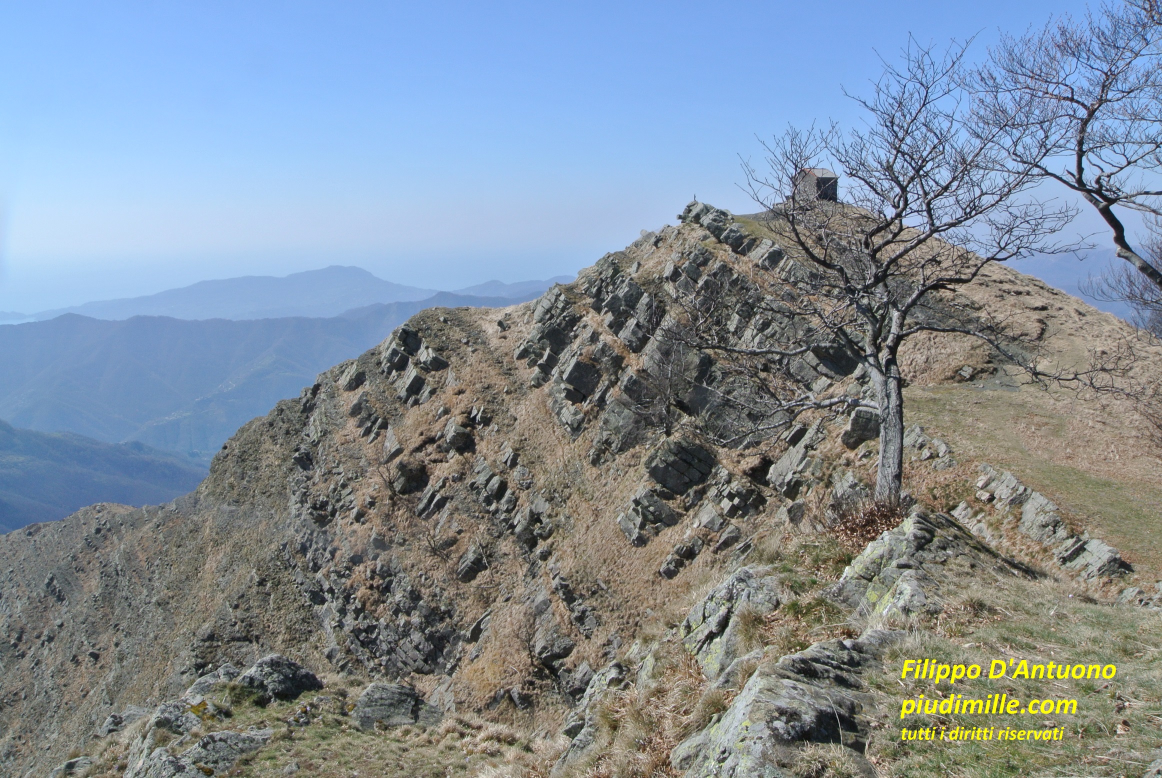
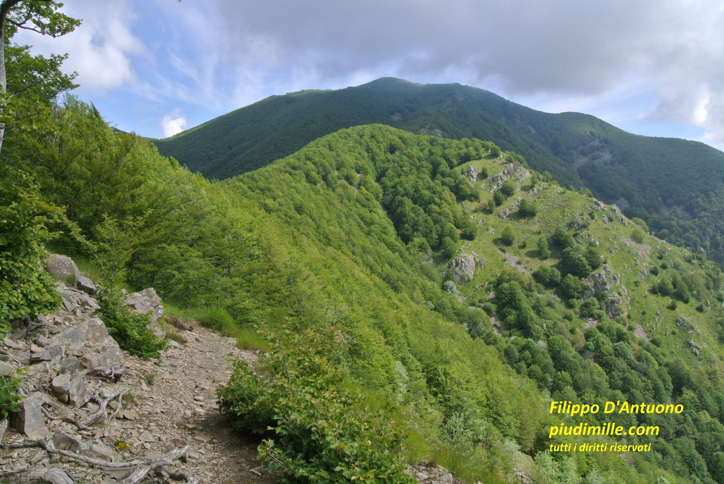
Beyond mount Ramaceto, we leave for a while the main ridge that we find again at pass Bocco, where it raises to forested mount Zatta. But… pay attention: “forested” is a suitable word for the north side of the mountain. Its south side, embracing the upper Graveglia valley, is a kind of twin of mount Ramaceto: a valley surrounded by two ridges made of layered sandstone rocks, with barren and almost vertical parts, really spectacular. So, if you reach mount’s Zatta summit form the north, among the forests, you will have the sudden surprise of this ridge. If, on the contrary, you ascend from the south side, the view if this ridge will be a full immersion, of which for sure you cannot get tired. Mount Zatta then also keeps more secret trails and other surprises.
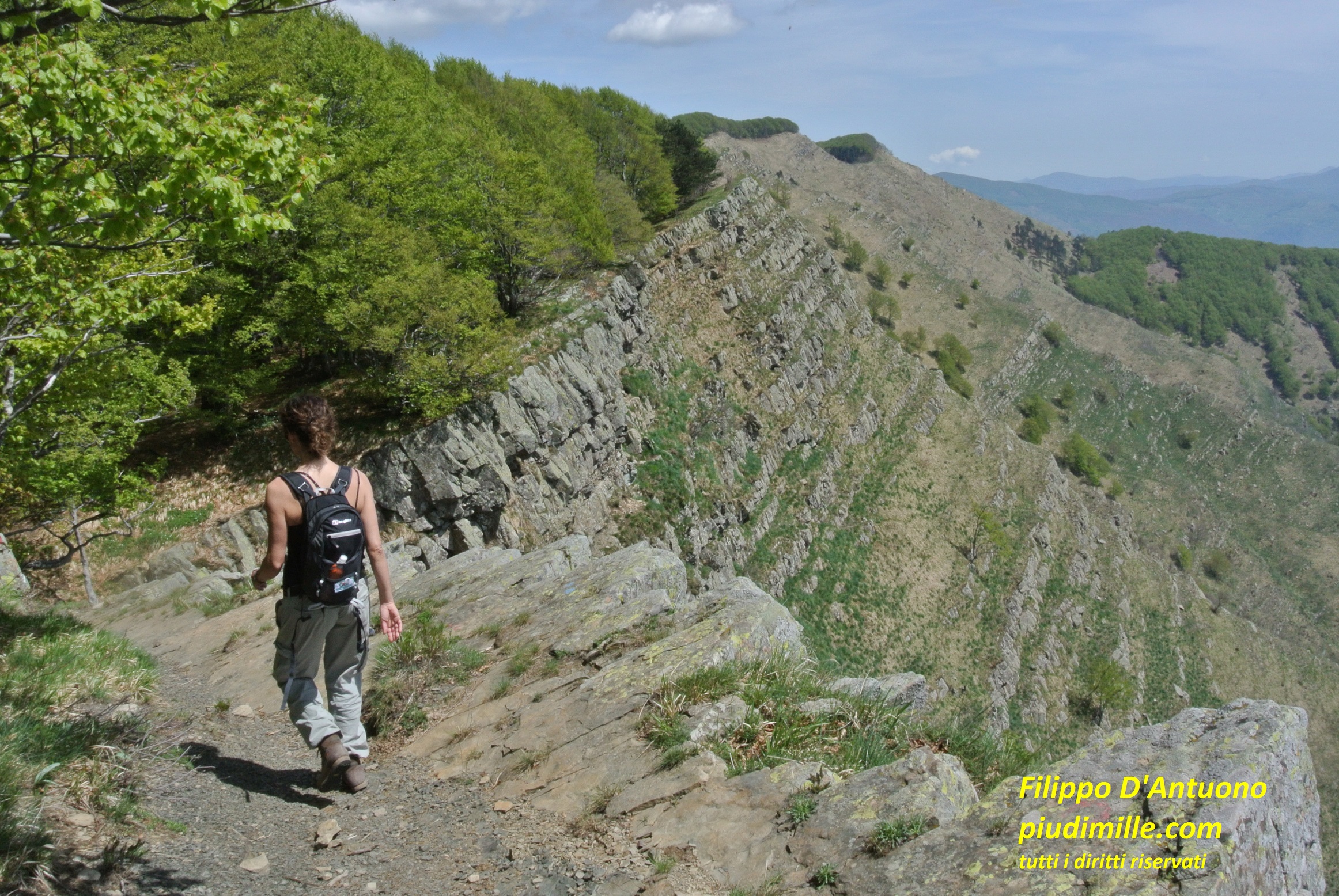
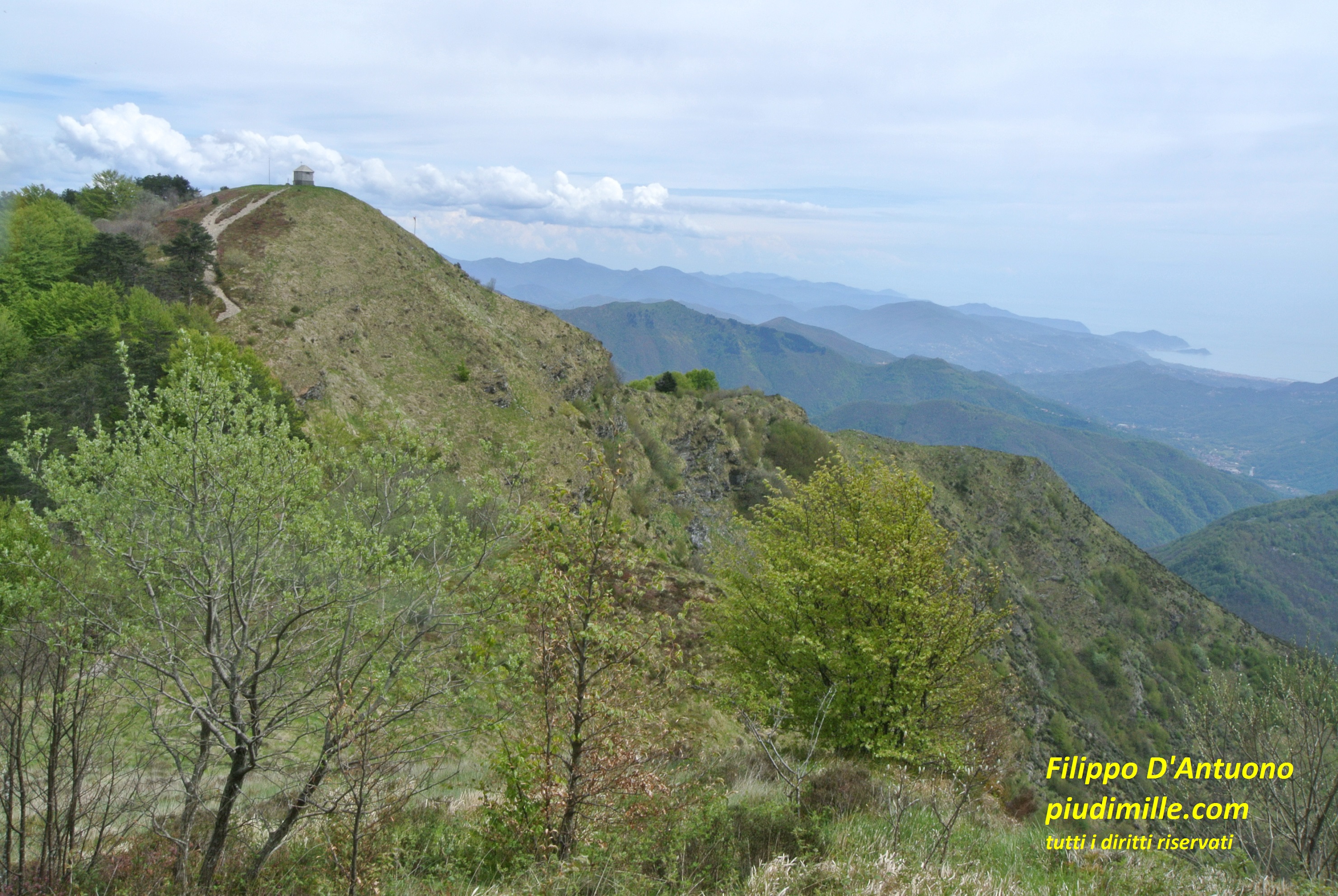
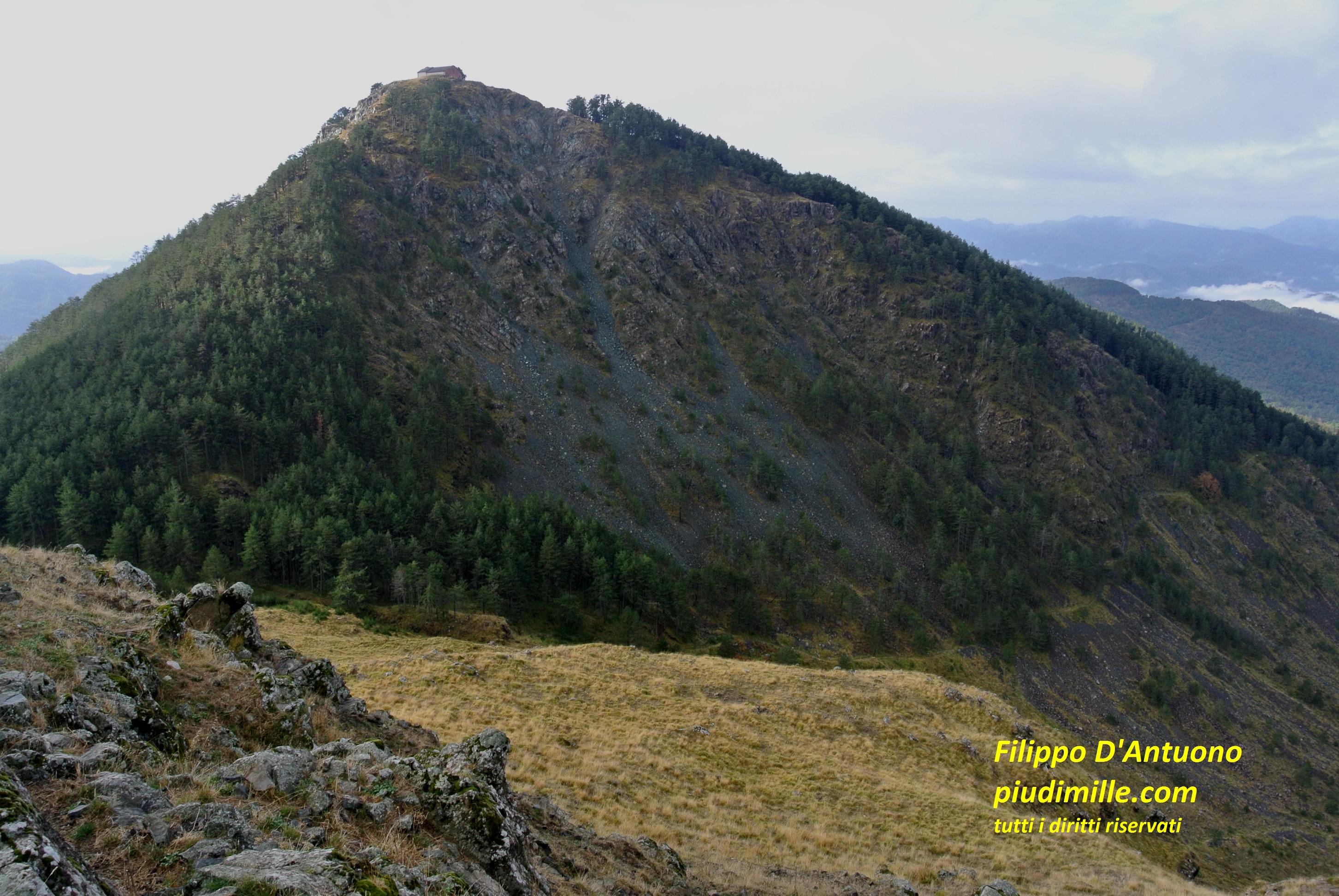
The characteristic aspct of the top ridge of mount Zatta
Its east ridge continues to mount Chiappozzo, made of limestone rocks; at its feet, the piani di Chiappozzo represent one of the few karst basins of the northern Apennine.
From mount Zatta you can already see the volcanic rock masses of the mountain marking the border with upper Vara valley.
Another view of mount’s Zatta summit, with the sea of Lavagna and Chiavari in the background
The Piani di Chiappozzo basin, with the elegant top of mount Chiappozzo and the ridge of mount Zatta
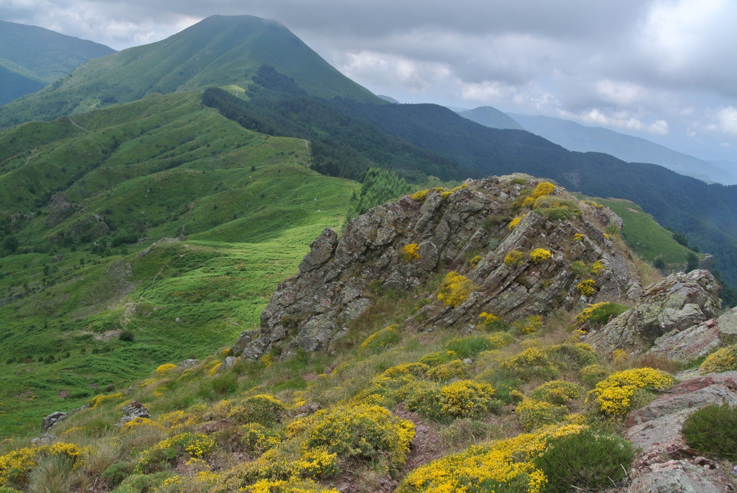
Between valleys Vara and Graveglia: mounts Verruga and Porcile
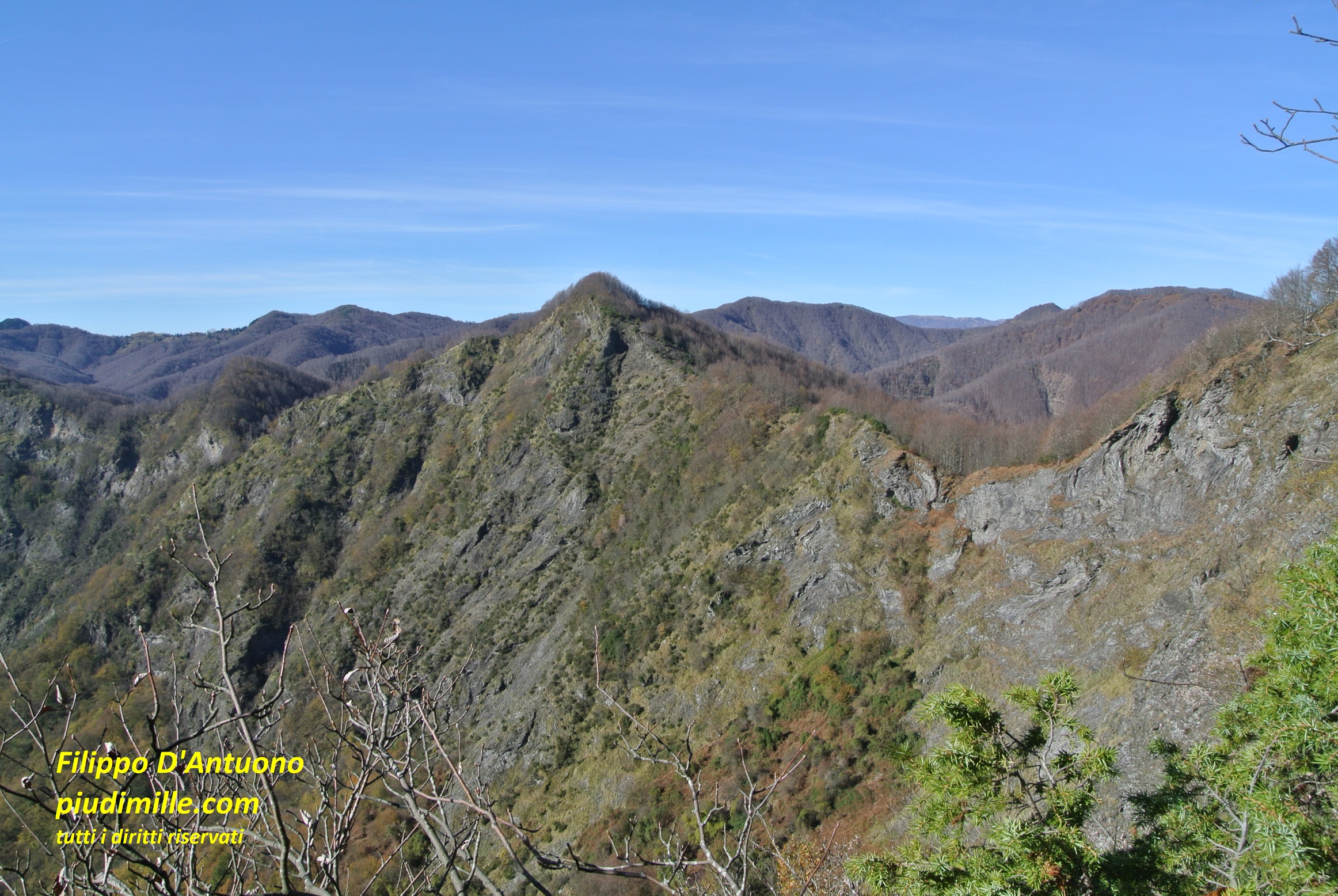
Now we enter into the spectacular and somewhat disquieting environments of the volcanic rocks, reach their maximum heights, in this area, with mounts Verruga and Porcile. The ridge including the two mountains runs from the pass of Colle Valletti to pass Bocco di Bargone. The open views, the sea of Sestri, almost below mount Porcile, the peculiar vegetation, the rugged and multi-coloured rocks, make these mountains something special.
The ridge of mounts Verruga and Porcile, is accessible from its ends by means of some market trails; the ascend from the lateral valleys is, ion the contrary, a kind of exploration hiking, because of the lesser known paths and also for the small villages of both the upper Vara and Graveglia valleys.
The ridge to mount Porcile, from the summit of mount Verruga
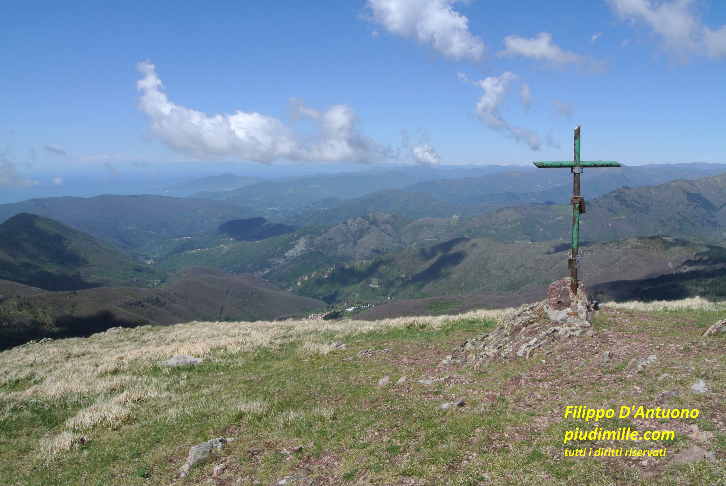
A view over the sea, from mount Porcile
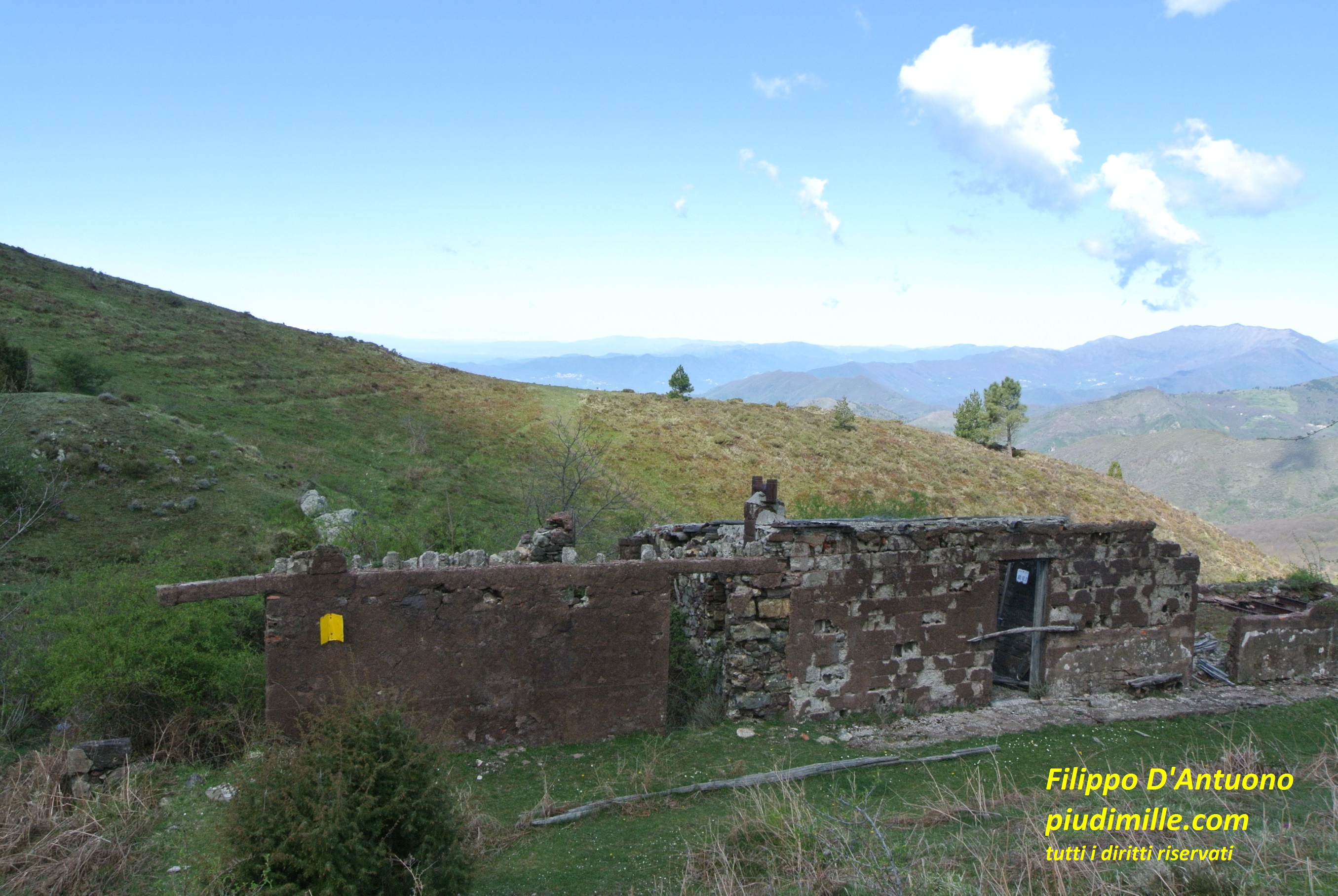
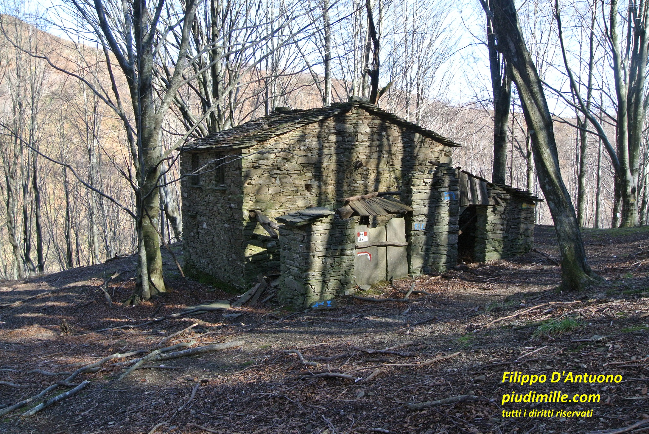
Abandoned miners’ settlements and the view of mount Ramaceto, from the flanks of mount Porcile
Between valleys Graveglia and Petronio
The Petronio valleys, ending into the sea of Riva Trigoso, is the last valley of appreciable length of the Ligurian east, before the shorter basins locked between the coastal ridge and the sea, from Moneglia to the Cinque Terre. Valley Petronio limits are the Graveglia valley, to the north, the Vara valley and its eastern end, and the coastal ridge, here not particularly relevant, to the south.
Mounts Tregin and Roccagrande
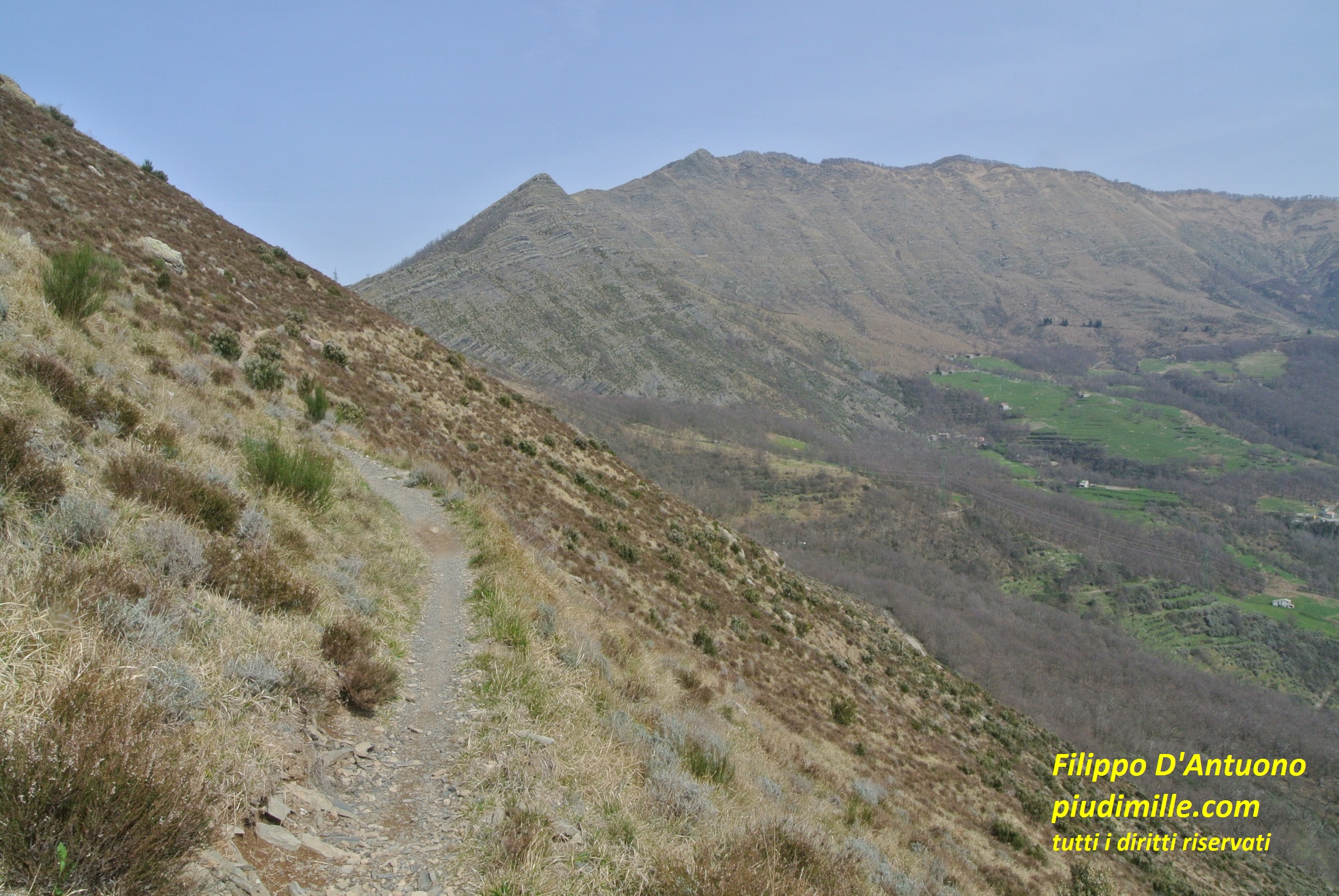
Mounts Tregin and Roccagrande are two volcanic rock masses on a ridge between valleys Graveglia and Petronio. Mount Tregin is unmistakable, from the costal side, for its almost vertical south side. The area around the two mountains continues the one of mounts Verruga and Porcile, with even more rugged and peculiar aspects.
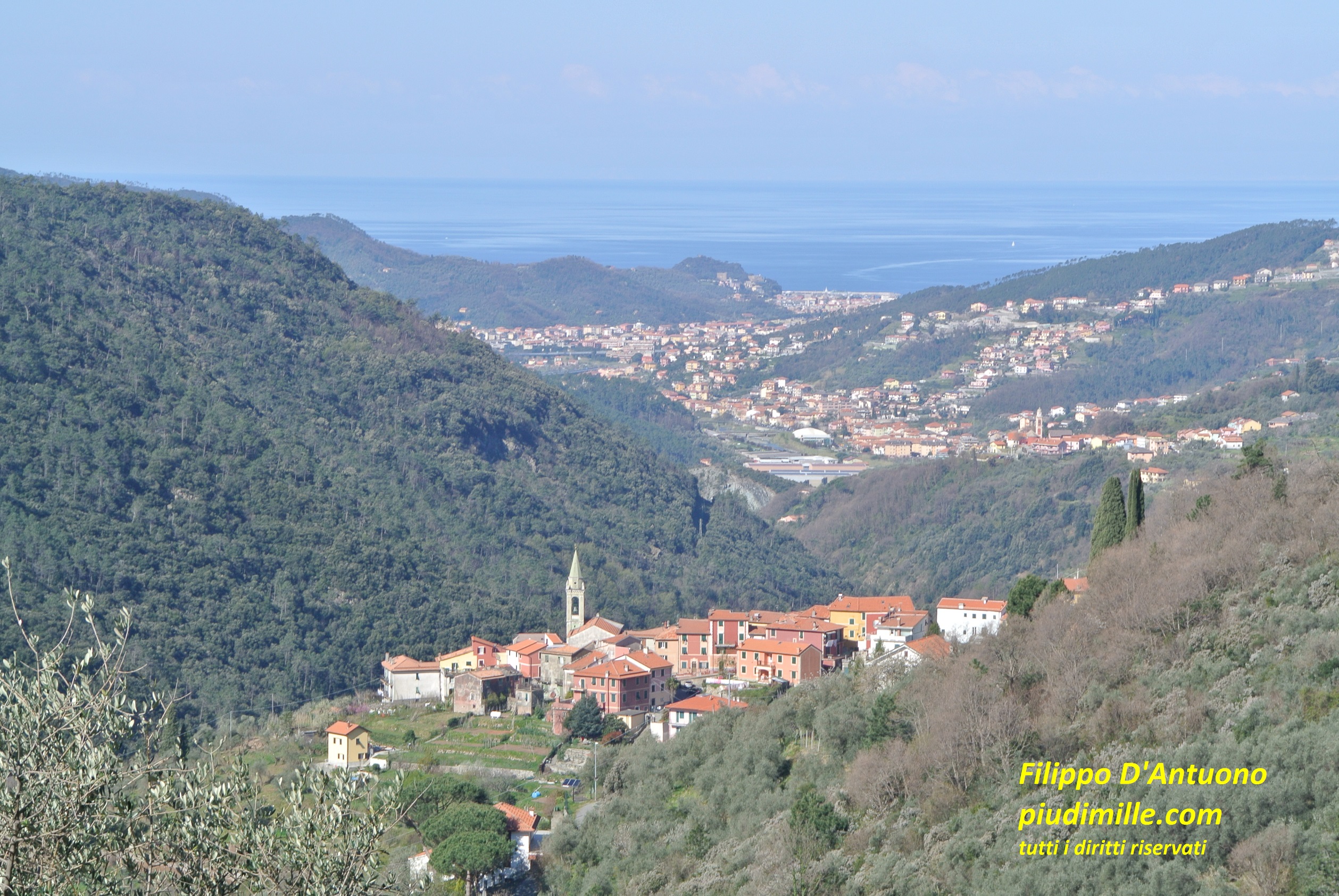
Castiglione Chiavarese and the sea of Sestri Levante, ascendiong to Alpe di Maissana
Mount Tregin, from a lane of the village of Bargone
View over the sea and mount Moneglia, from mount Tregin
Mount Alpe di Maissana
MountAlpe di Maissana is the last notable mountain of the ridge starting from pass Bocco di Bargone, dividing the valleys Petronio and Vara. It is a peculiar mountain, with spectacular views of the sea, the Apennine and the volcanic mountains around. On Alpe di Maissana we already walk on diverse rock types: volcanic stones, limestone, jaspers, which different texture and consistence we can well appreciate under our shoes.
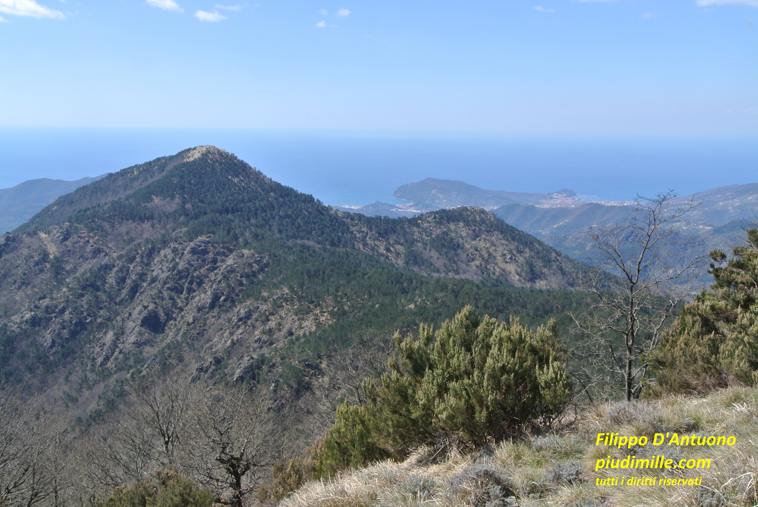
The sea of Sestri Levante, cape Manara and mount Pu, from Alpe di Maissana
The view of mounts Porcile, Verruga, Zatta, and to mount Aiona, from Alpe di Maissana
The Vara valley
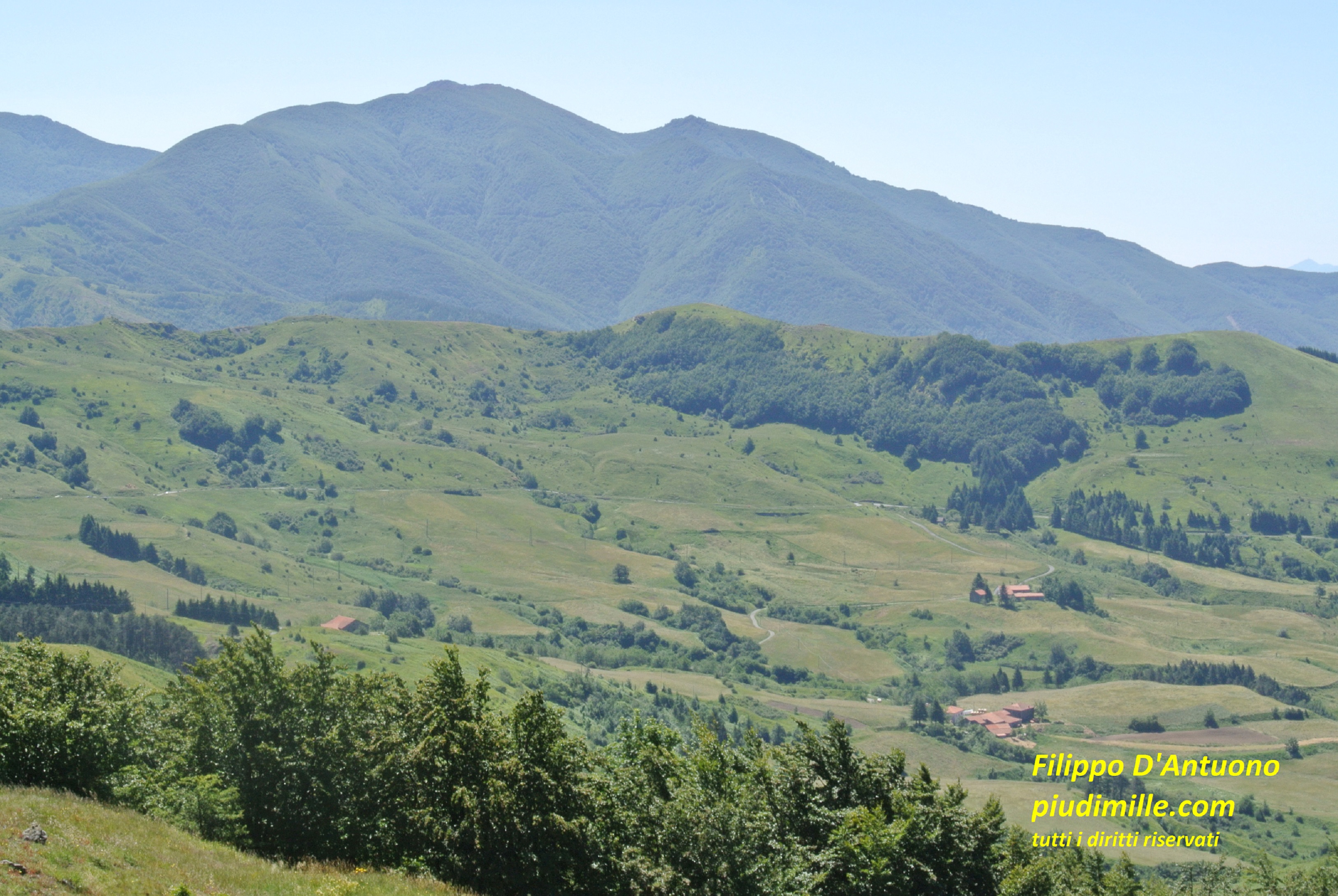
West of mount Zatta the main dividing ridge becomes more rounded and woody, a typical aspect of this area of the Apennine. It continues this way to pass Foce dei Tre Confini, beyond mount Gottero, representing the limit if upper Vara valley. Little beyond the Foce dei Tre Confini, the main ridge continues, to divide the upper Lunigiana, in the Tuscany region, from the Taro valley, in the Emilia region. We therefore abandon it, to follow instead the ridge dividing the Tuscany Lunigiana from the middle Vara valley.
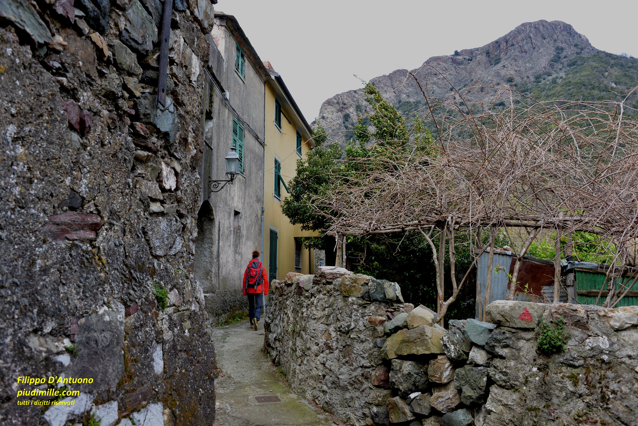
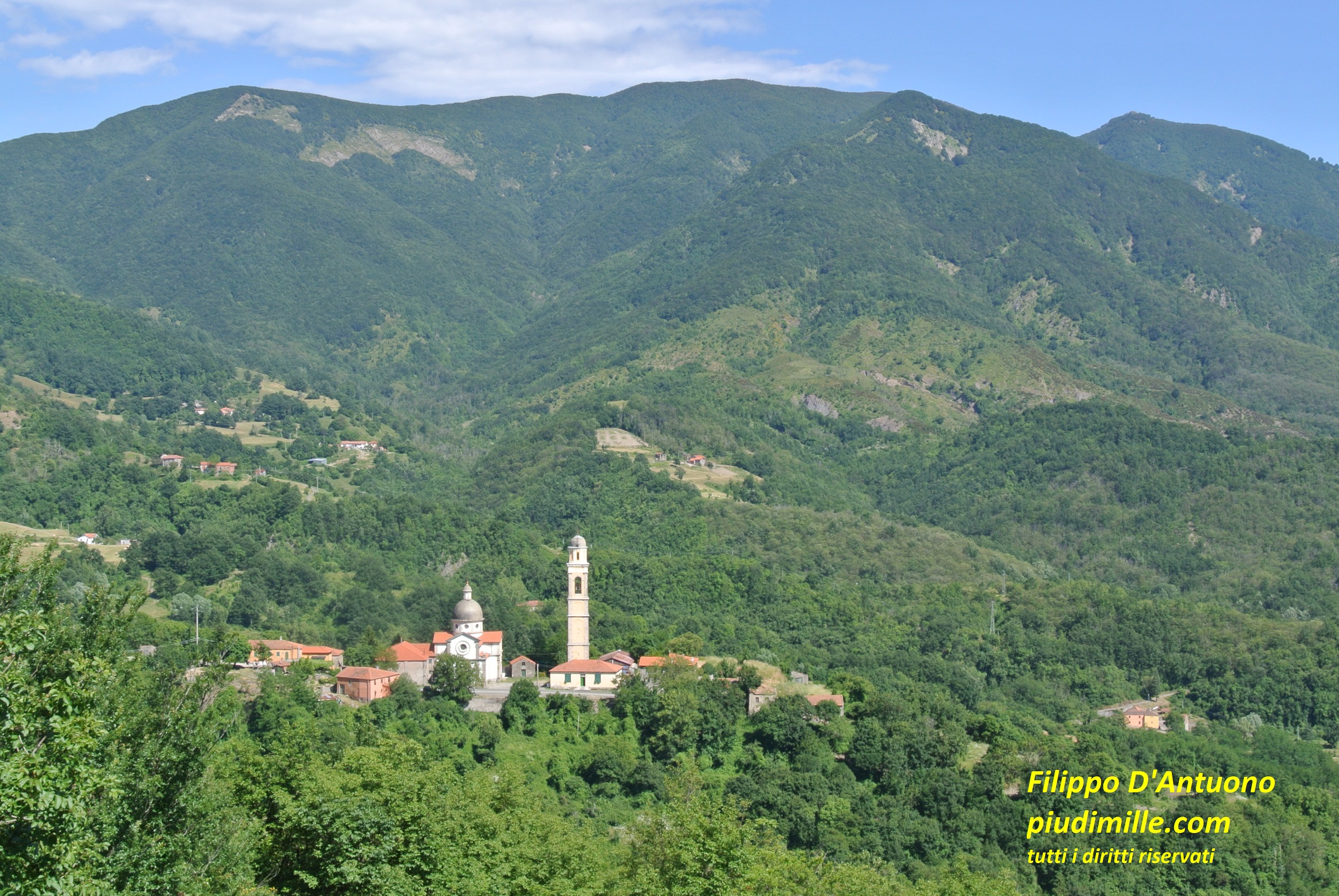
The main centre of the Vara valley is Varese ligure, an evocative historical town. The valley is however scattered with plenty of almost abandoned hamlets, than you may meet during your approaches to places.
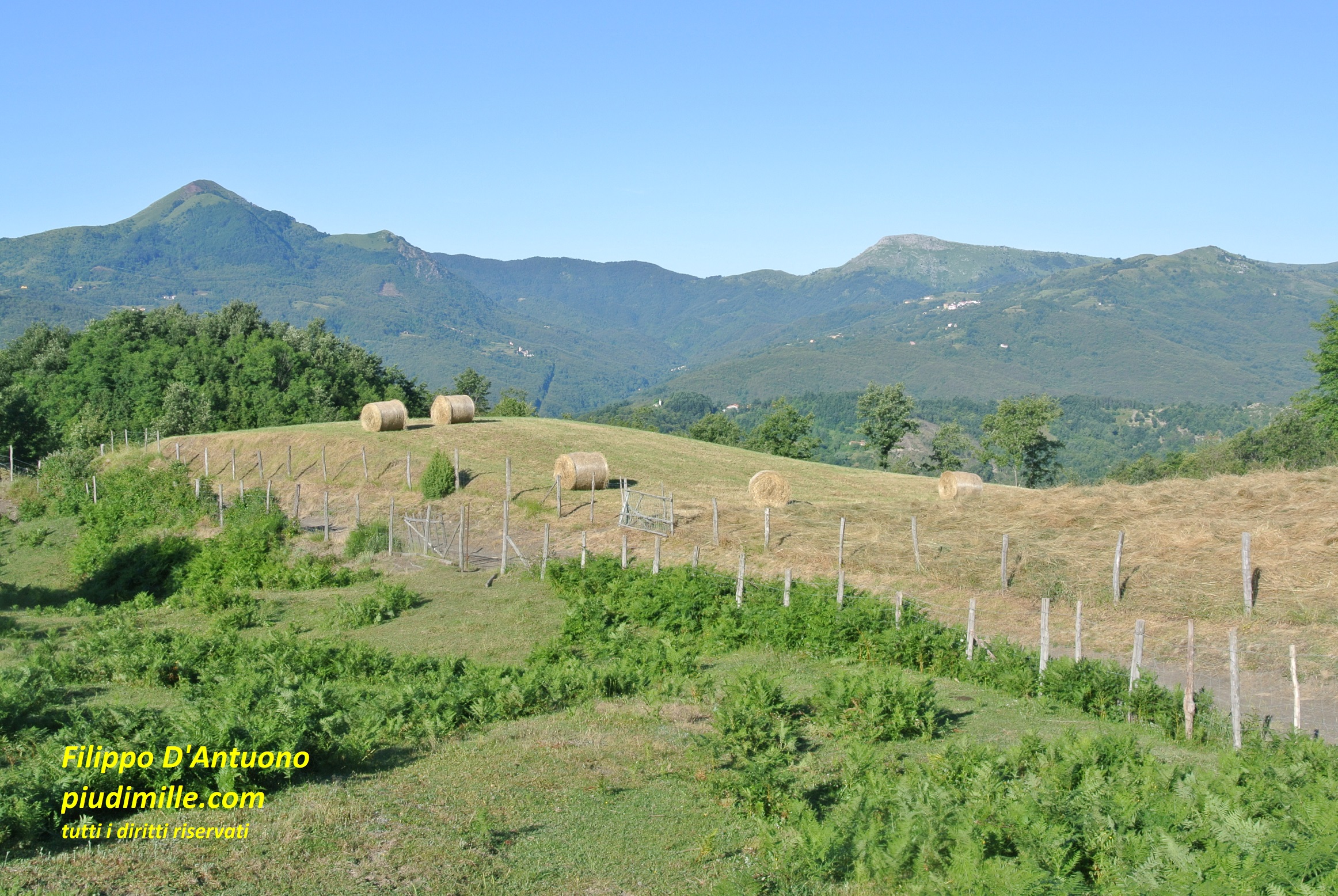
A typical view of the upper Vara vally landscape
The historical centre of Varese Ligure
The village of Caranza, with the background of mount Gottero
The group of mounts Zuccone and Gottero, with pass Cento Croci
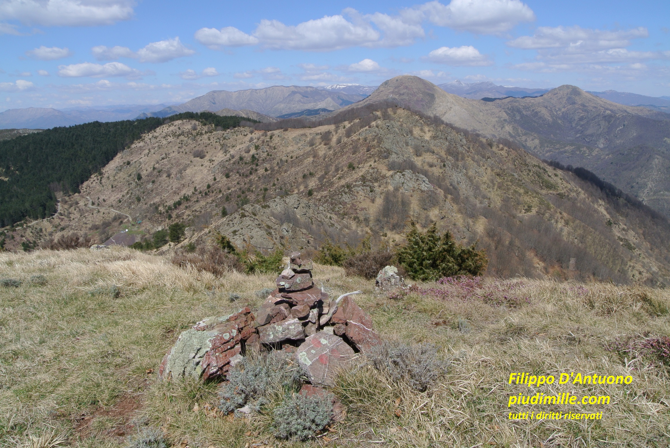
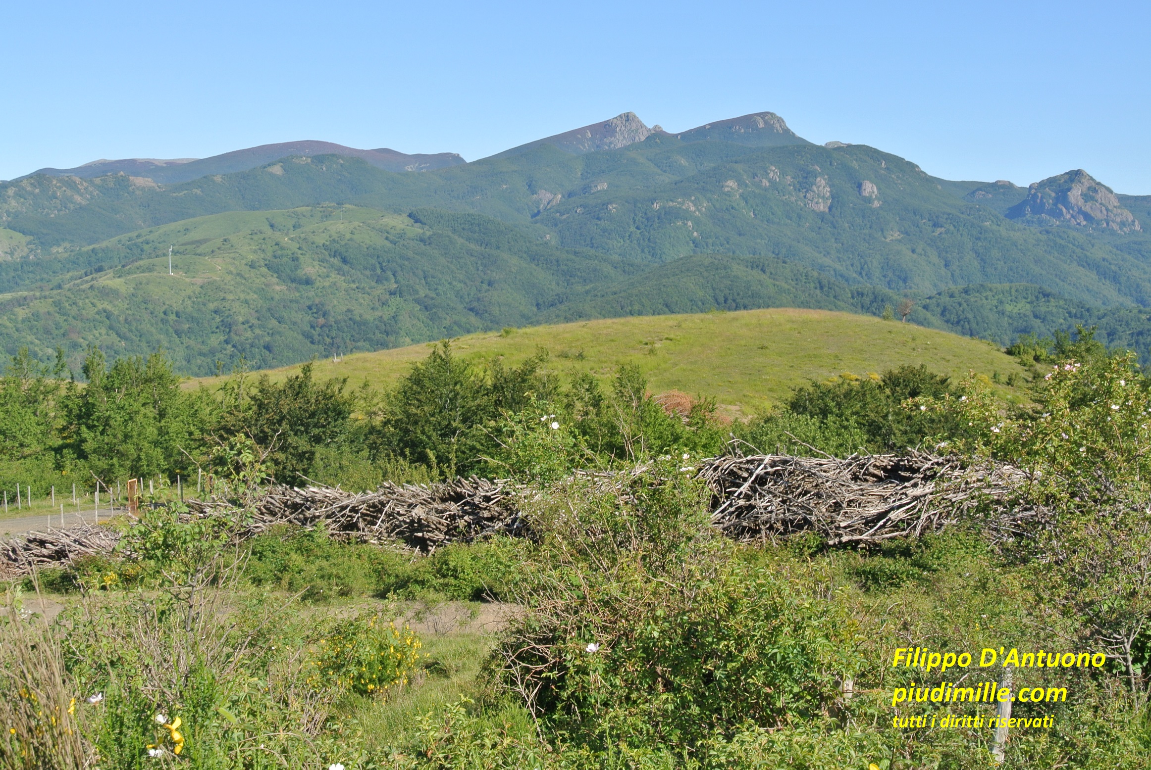
Beyond pass Bocco, and the last elevation of mount Zatta, the main ridge lowers for a while, to raise again at the open and panoramic meadows of mount Ventarola and then to mount Zuccone, that is instead covered with forests. Further east there is the extended pasture area of passes Cento Croci and della Cappelletta, occupied by several wind power generators, that follwed the “historical” ones of pass Cappelletta.
The gruop of mounts Penna and Aiona, from mount Ventarola
Mount Gottero, from the descent from mount Zuccone
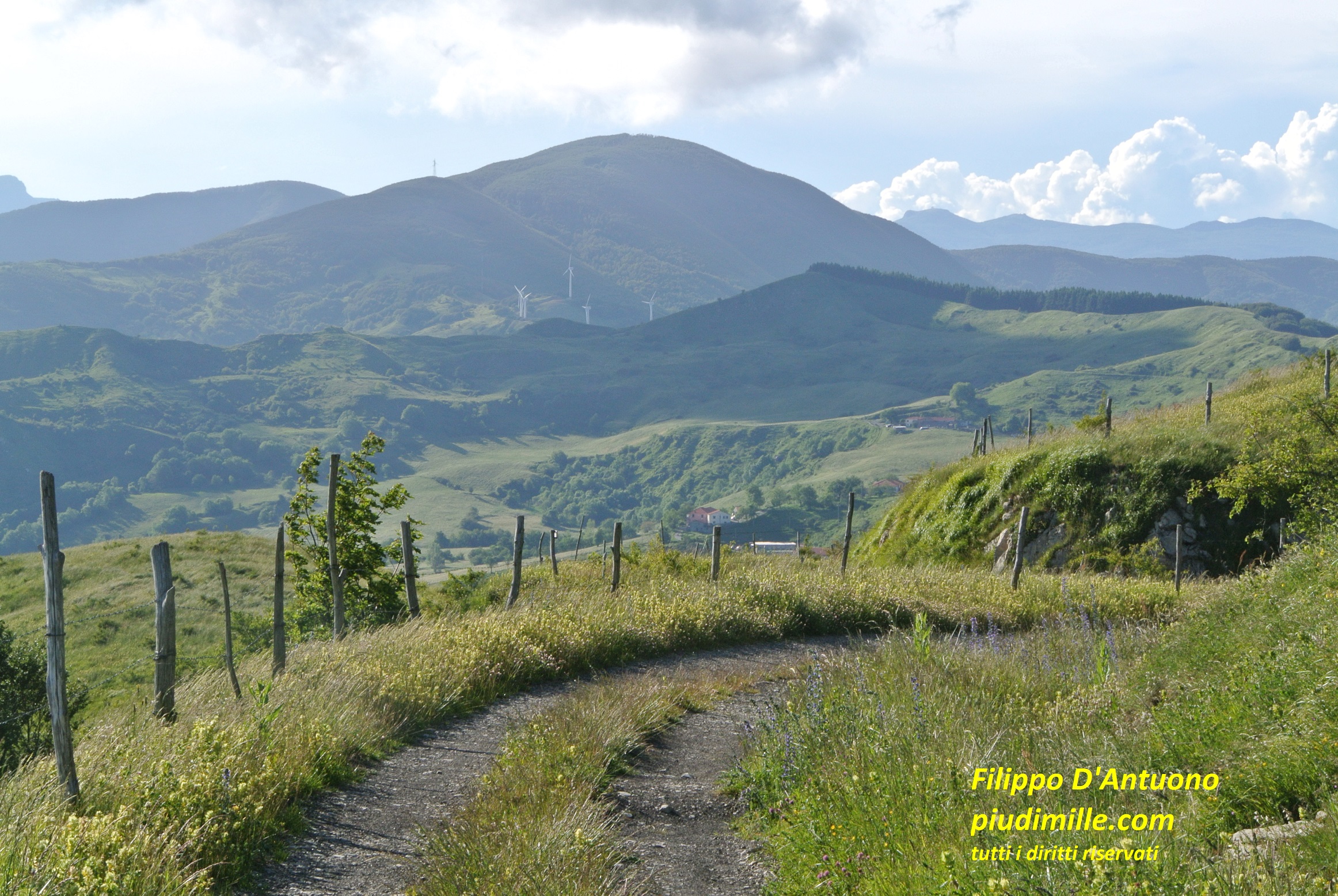
Mount Zuccone and the new wind power generators of pass Cento Croci
Pass Cappelletta is also the “door” of the more popular way to mount Gottero. Mount Gottero is a forested mountain, with a small open area around its summit, offering great views, when the conditions allow: the sea line to the Versilia coast, the Apuanian Alps Parma Apennine ridge, a substantial part of the Ligurian mountains, to mount Lesima. The access from pass Cappelletta is relatively short and easy. On the contrary, the ascents from the south side are longer hikes, with important gradients, also using remote and non-marked trails.
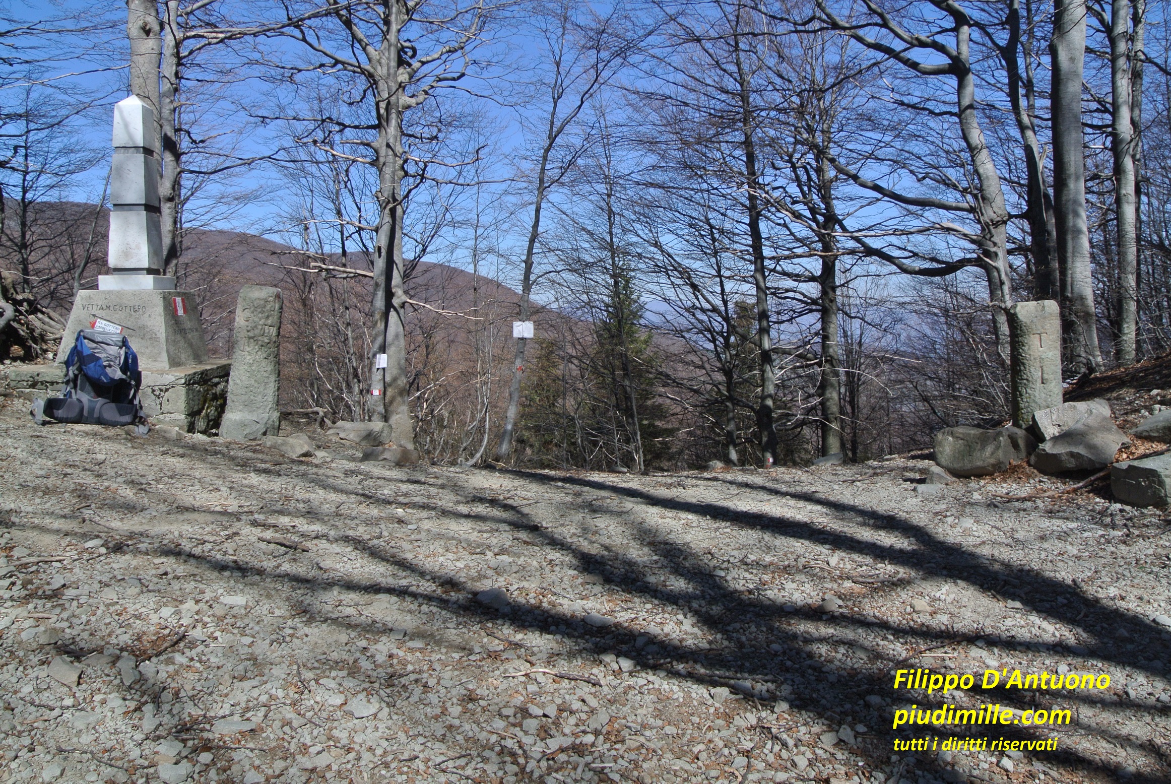
Pass Foce dei Tre Confini, marking the east end of mount Gottero, is an evocative place, for the historical reminder of having been the border point between the three older states of the Genova republic (then Sardegna kingdom), the Parma Duchy and the Tuscany grand duchy.
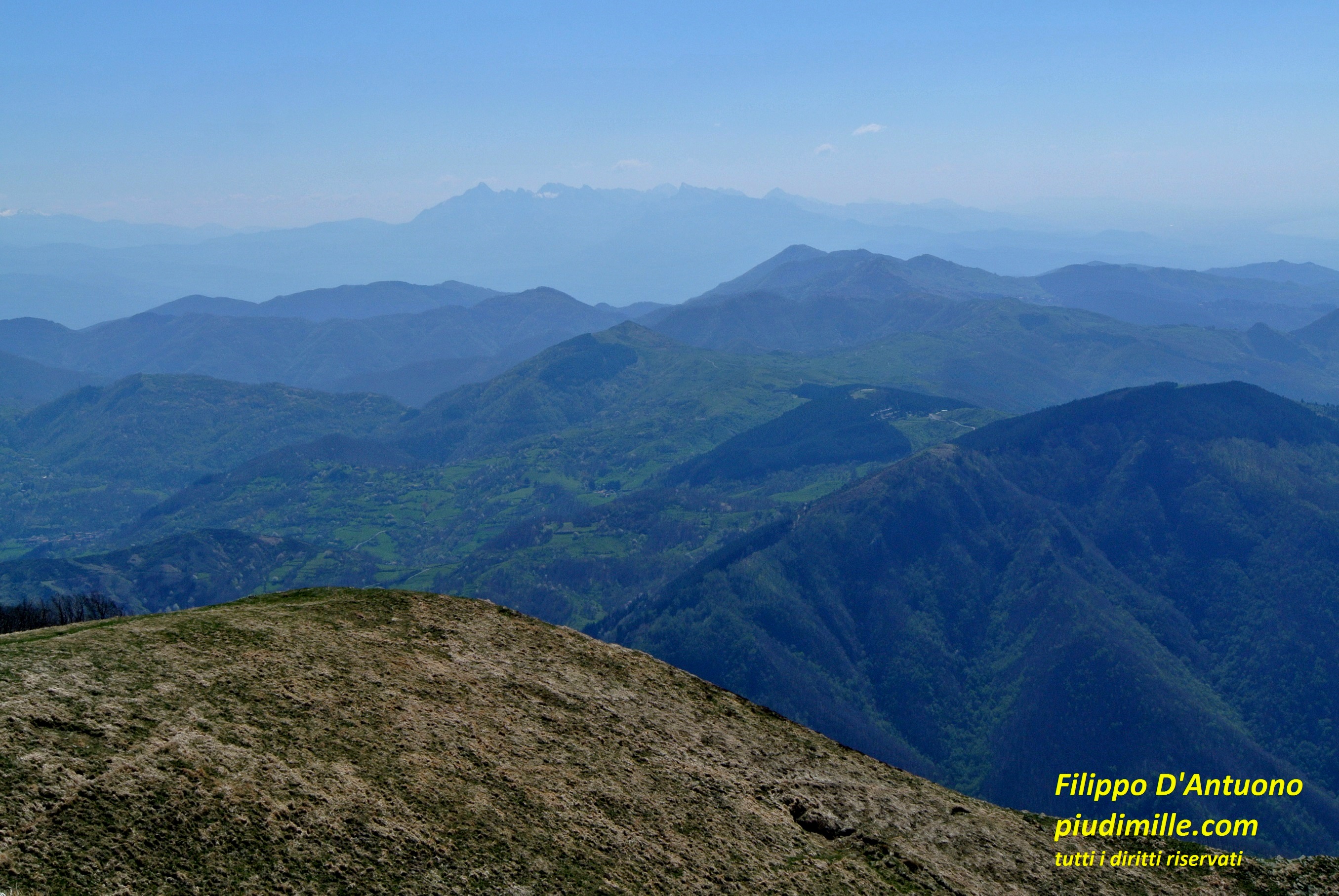
A somewhat faded view of the Apuanian Alps and the Versilia coast line, from mount Gottero
On of the demanding ascents to mount Gottero, from its south sides
Pass Foce di Tre Confini
The mountains of the middle Vara valley
The south side of the middle Vara valley is represented by the coastal ridge, to the Cinque Terre, at the limit of the hills surrounding the gulf of La Spezia. Find some information of these places in the pages of the east Ligurian coast.
Here I mention the ridge at the north side of the middle Vara valley. It progressively descends, partly forested and partly open, crossed by many forest track, with some further domes along its way. Between them, mounts Fiorito and Civolaro, are interesting and panoramic, with their meadows and the open views over the Lunigiana valley and the high Apennine ridge.
The view of mount Gottero, from the pastures of pass Termine
The area between Pieve di Zignago and Suvero is of special interest, for both the archeological sites, not very well accessible indeed and the last volcanic rocks of mounts monte Dragnone, with a chapel on its top and mount Castellaro, , with prehistoric and medieval remains.
The volcanic rock environment of mounts Dragnone and Castellaro
Mount Dragnone, and the chapel on its summit, from mount Castellaro